Sixteen live.
One scale.
Every peril below is a calibrated 90 m global surface, modeled with the method that fits its physics. Every peril ships in Petrel Surfaces — a 0–1 calibrated score, a 5-class risk band, a per-pixel uncertainty layer, and an input-coverage mask. Per-return-period intensity rasters (Petrel Returns) are live for hurricane, windstorm, extreme heat, extreme cold, drought, storm surge, wildfire, and hail; stochastic event sets for the remaining extreme-value perils are on the roadmap.
How to get it: a free ~5°×5° sample per peril is on the public CDN today (no signup). The hosted point-query API is live and self-serve, metered through Stripe — get a free API key. Full bulk vintage downloads are sold under enterprise contracts — contact sales. Per-hazard model cards land with the public docs portal in 2026.Q3.
Live
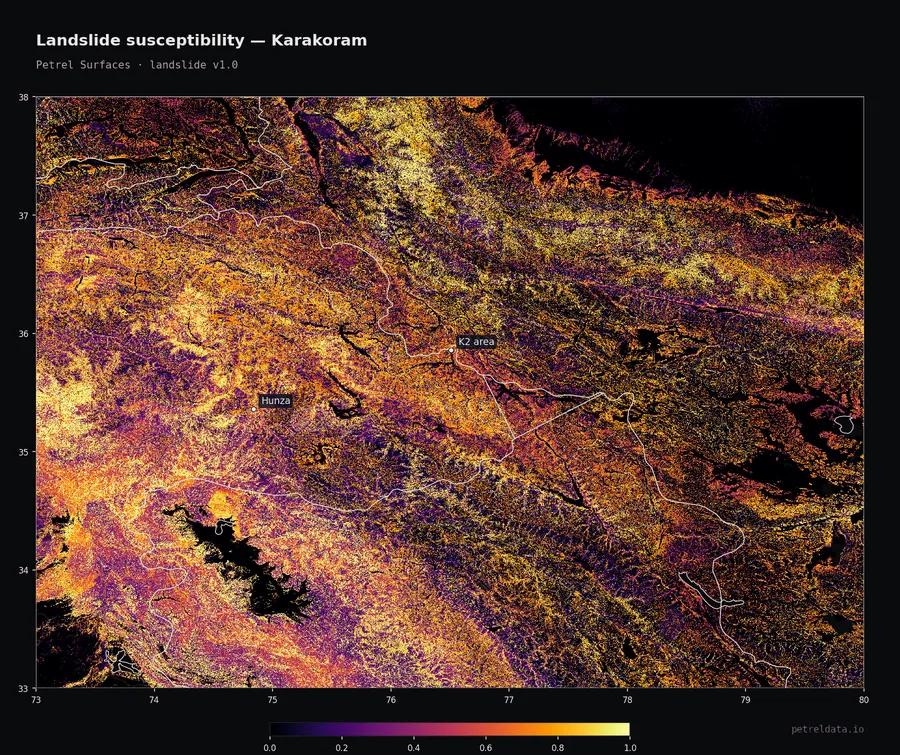
Landslide
Machine-learning susceptibility trained on 80,000+ documented landslides worldwide - terrain, geology, soil, and rainfall.
Inputs: DEM slope/aspect, TWI, landcover, rainfall, NASA-GLC inventory (80K events)
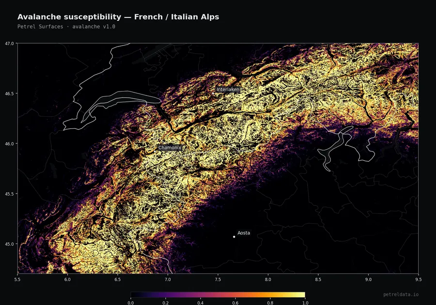
Avalanche
Machine-learning susceptibility from terrain and snow-climate, trained on observed avalanche events.
Inputs: DEM slope/aspect, mean snowfall, winter temperature, terrain ruggedness
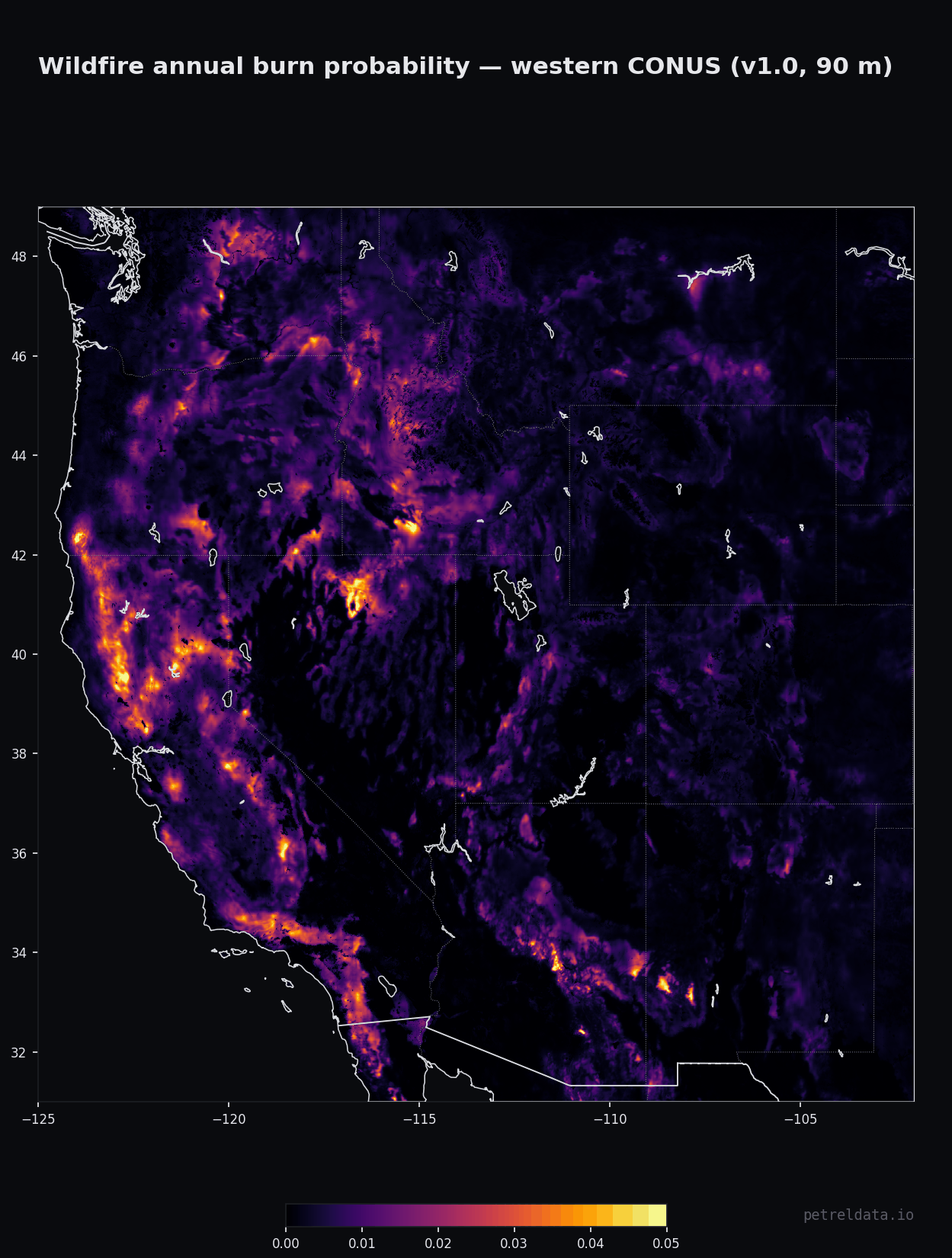
Wildfire
Physics-based wildfire likelihood: fire-spread simulations emulated to 90 m and anchored to 23 years of MODIS burned area. Tested against independent fire inventories — MTBS (US) AUC 0.88, NBAC (Canada) 0.92, EFFIS (Europe) 0.82 — with pixel-level AUC 0.95 against 20 years of 500 m MODIS burn history and rank agreement 0.52 with the USFS FSim model. Burn probability is relative to MODIS-detectable burned area, so small fires are under-detected; built-up land scores 0 by construction — use the exposure band for addresses; placement inside a 0.25° cell has modest skill (within-cell AUC 0.61); and it is a long-run annual probability, not a post-fire state — a just-burned area is not lowered. The downloadable rasters carry the ANNUAL probability; the API /score endpoint returns the 50-year probability by default (?horizon=50|100|250|500, or ?band=susceptibility for the annual value) — same product, two bases, so compare like with like. Refreshed annually against the burned-area record, cut each spring once the prior year of burned-area files is complete.
Inputs: ESA WorldCover 2021 + Petrel fuel crosswalk v1.4 (Scott & Burgan FM40 classes), Petrel Ignition Layer v0.3, ERA5 fire-season weather climatology, Copernicus GLO-30 terrain, NASA MODIS MCD64CMQ burned area 2001–2023 (anchor), Cell2Fire simulation campaign (28,498 fires)
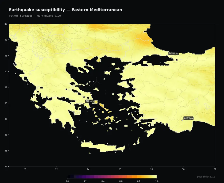
Earthquake
Ground-shaking exposure from the GEM global 475-year seismic hazard model, refined for local soil amplification.
Inputs: GEM 2023 seismic hazard, USGS Vs30, soil-class amplification factors
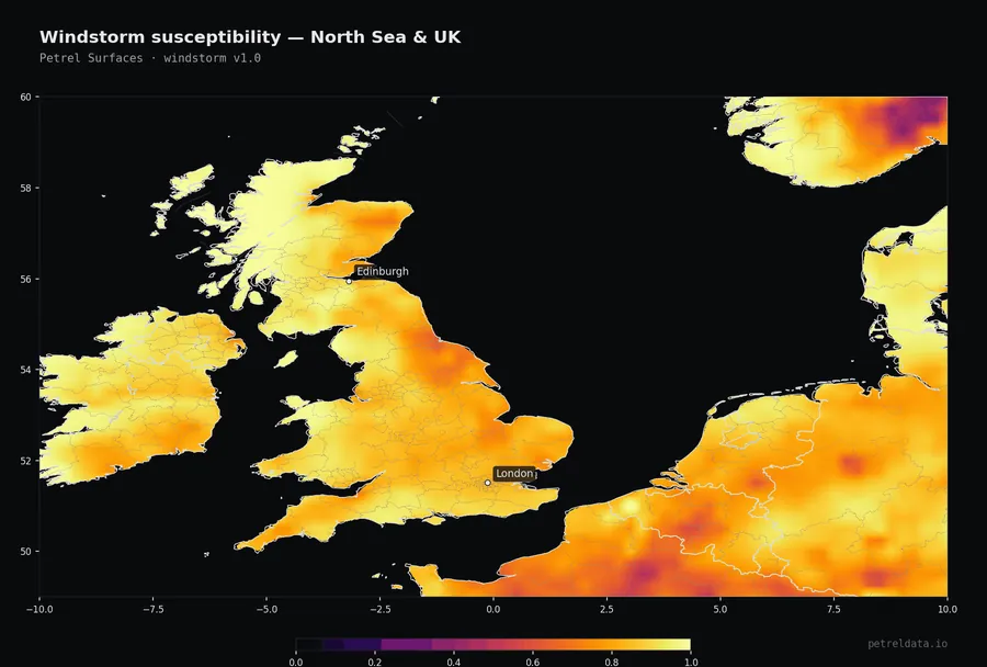
Windstorm
The 100-year extreme wind gust, from 30 years of ERA5 climate reanalysis.
Inputs: ERA5 monthly gust extremes 1991–2020
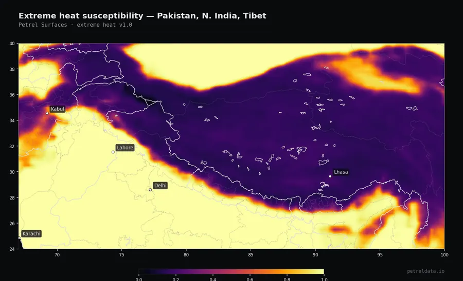
Extreme heat
The 100-year extreme high temperature, from 30 years of ERA5 climate reanalysis, downscaled to 90 m.
Inputs: ERA5 monthly max temperature 1991–2020, DEM for elevation lapse correction
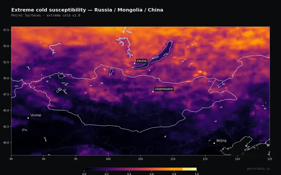
Extreme cold
The 100-year extreme low temperature, from 30 years of ERA5 climate reanalysis, downscaled to 90 m.
Inputs: ERA5 monthly min temperature 1991–2020, DEM
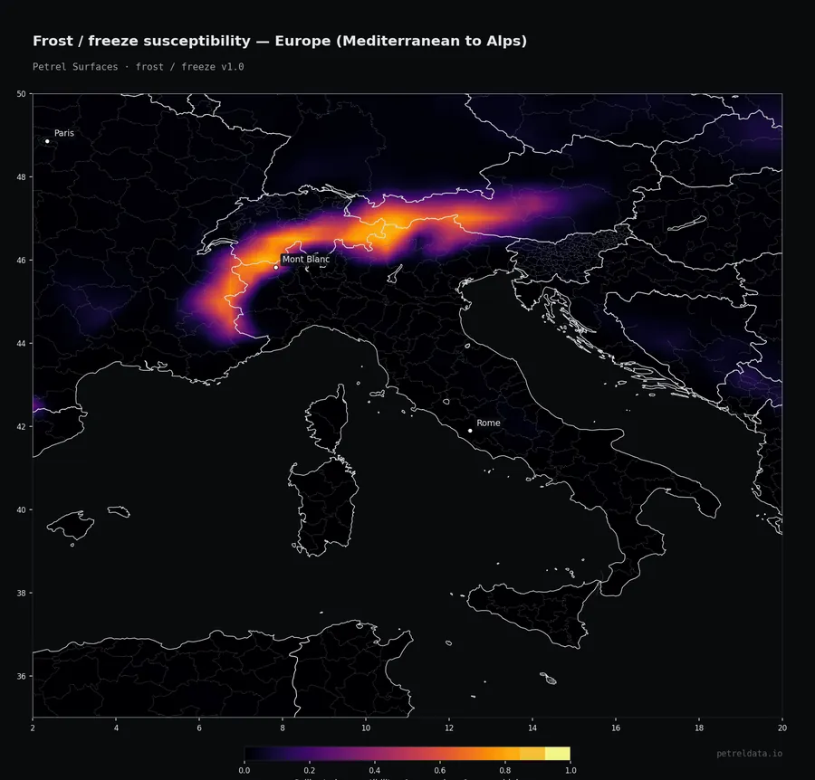
Frost / freeze
How often freezing conditions occur through the year, from 30 years of ERA5 climate reanalysis.
Inputs: ERA5 monthly t2m 1991–2020
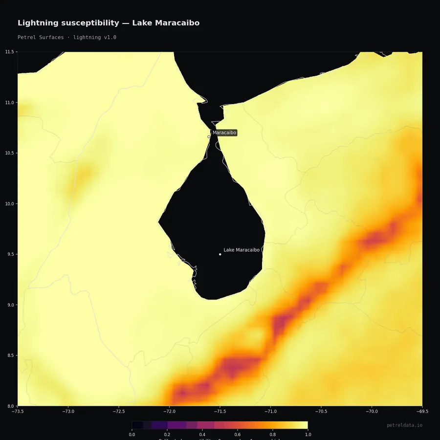
Lightning
Observed total flash density from NASA satellite optical detection (LIS/OTD/ISS), 1995–2023.
Inputs: NASA LIS/OTD/ISS satellite flash climatology
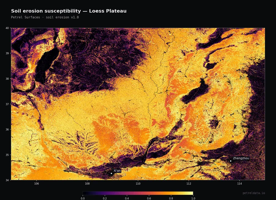
Soil erosion
Long-term annual soil loss from the RUSLE model - rainfall, soil, slope, and land cover. Ice, rock, and open water are left unscored.
Inputs: ERA5 rainfall erosivity, SoilGrids K-factor, DEM slope-length, Copernicus Global Land Cover C-factor
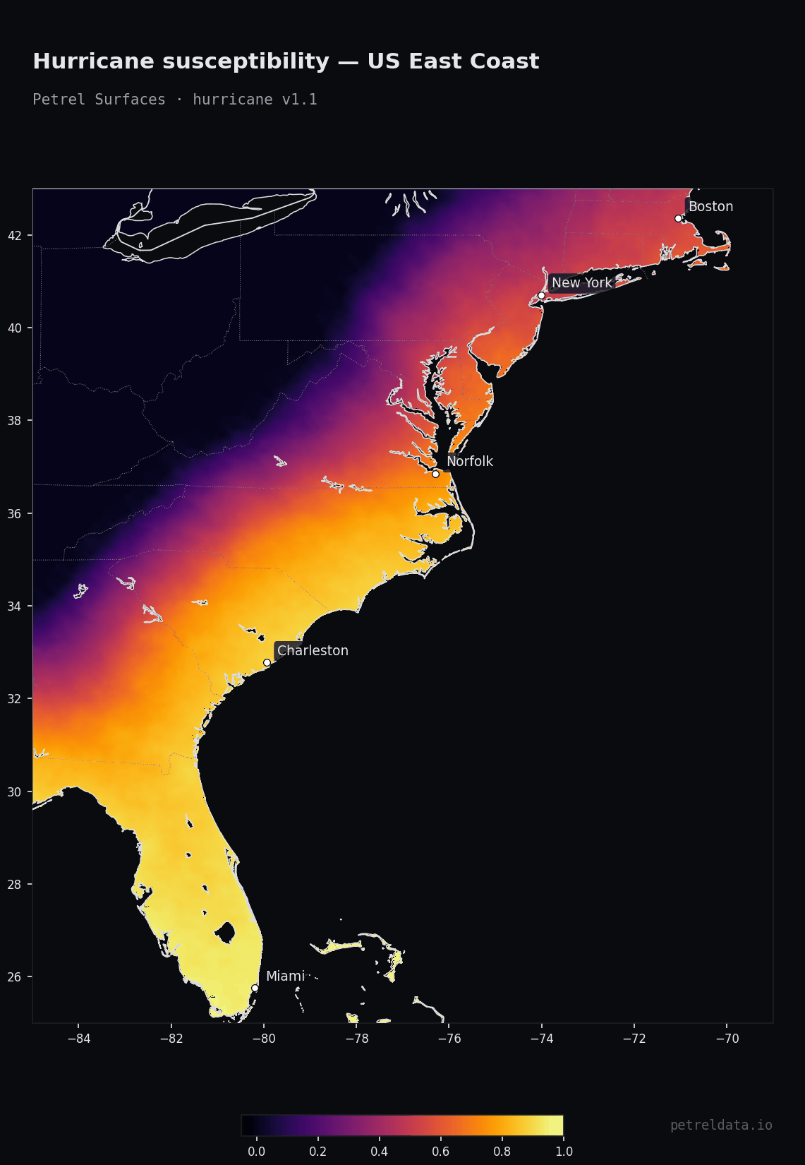
Hurricane
Tropical-cyclone peak-gust exposure from 10,000 years of synthetic storm tracks across all six ocean basins.
Inputs: STORM v4 10,000-yr synthetic tracks × 6 basins (Bloemendaal 2020, CC0), CLIMADA TropCyclone wind-field renderer, Natural Earth land mask
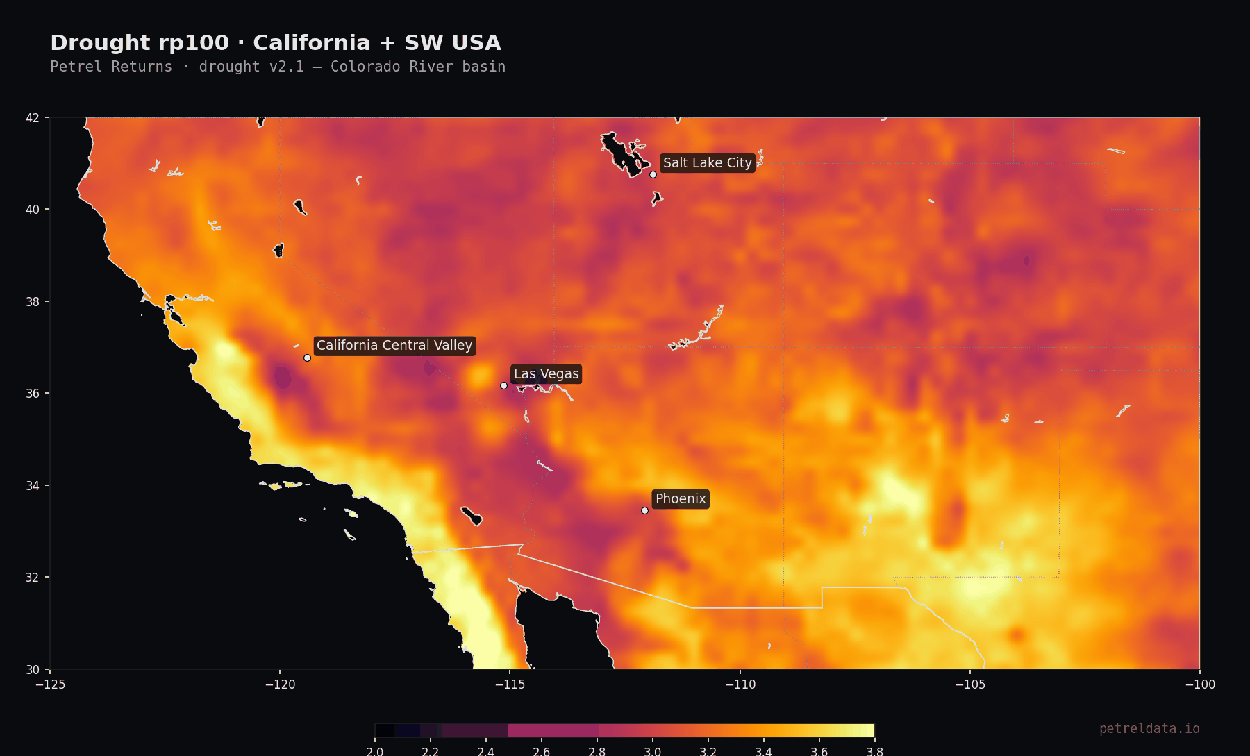
Drought
Drought-severity (SPEI-12) susceptibility and return levels from 85 years of ERA5 climate reanalysis, 1940-2024. Polar and hyperarid cells are left unscored.
Inputs: ERA5 monthly precipitation + 2m temperature 1940-2024, Beck 2018 Köppen-Geiger 1km, Thornthwaite 1948 PET, climate_indices Pearson III SPEI-12
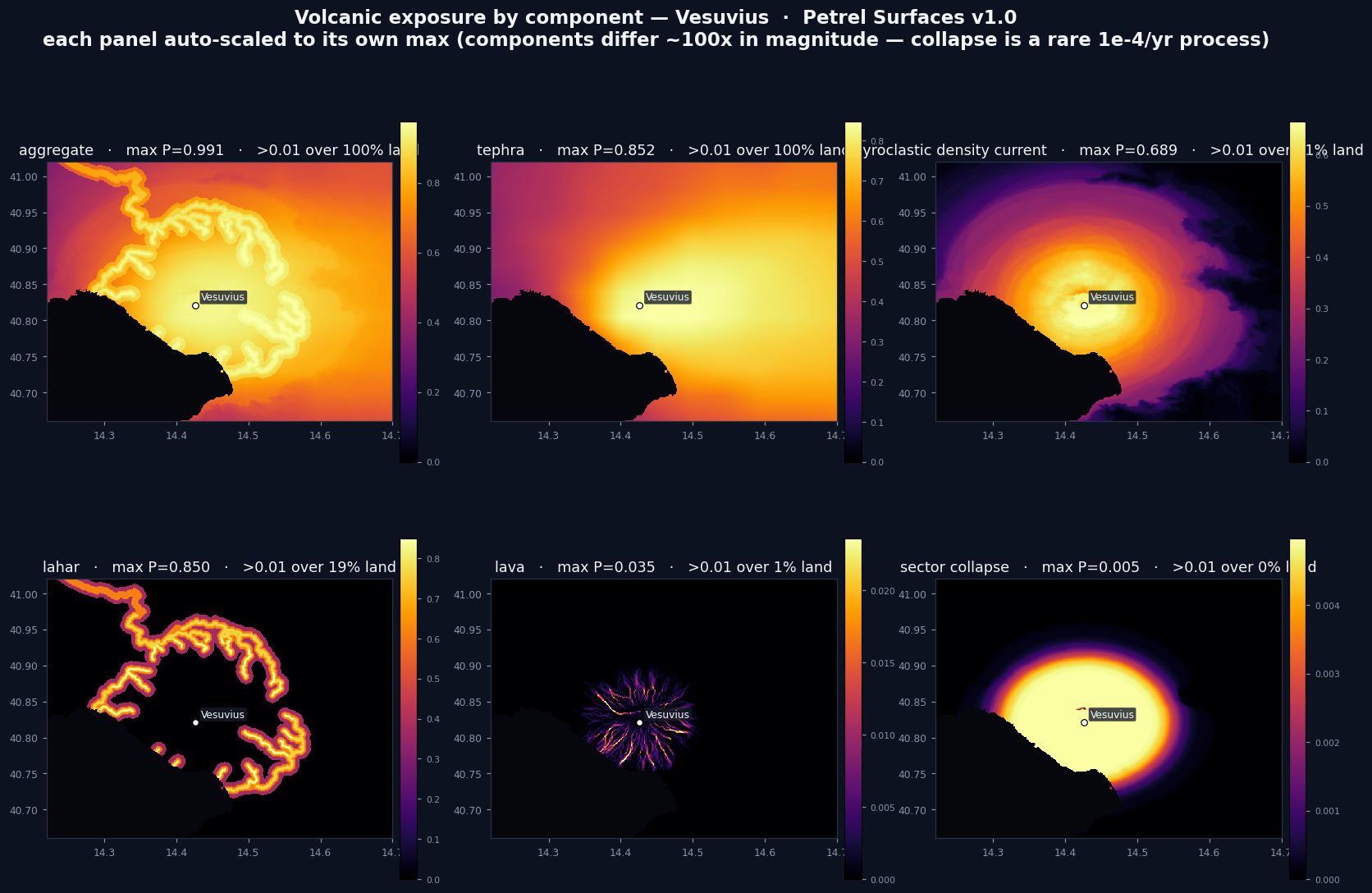
Volcanic Eruption
Long-horizon volcanic exposure: per-volcano physical hazard footprints combined with magnitude-frequency eruption rates into 50-year exceedance probabilities. A screening climatology, not an eruption forecast.
Inputs: Petrel Volcano Catalog (1,608 volcanoes, VEI + eruption rates), Copernicus 90 m DEM, ERA5 winds (tephra dispersal)
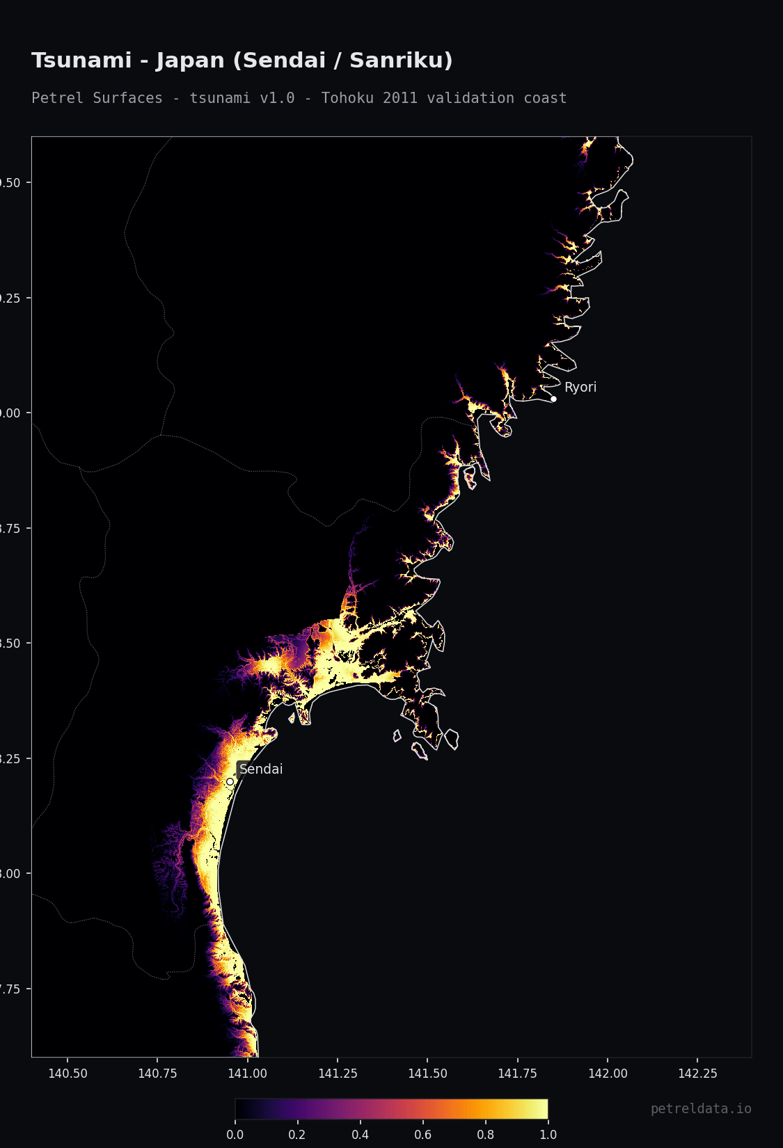
Tsunami
Coastal tsunami screening: offshore probabilistic hazard reused from PTHA18 and propagated to 90 m. A screening climatology for portfolio triage — explicitly not evacuation planning, life-safety zoning, or engineering design.
Inputs: PTHA18 + GAR15 (Geoscience Australia), NEAMTHM18 (INGV), NGI, GEBCO 2024 bathymetry, SRTM15+, Slab2, NOAA NCEI historical run-up database
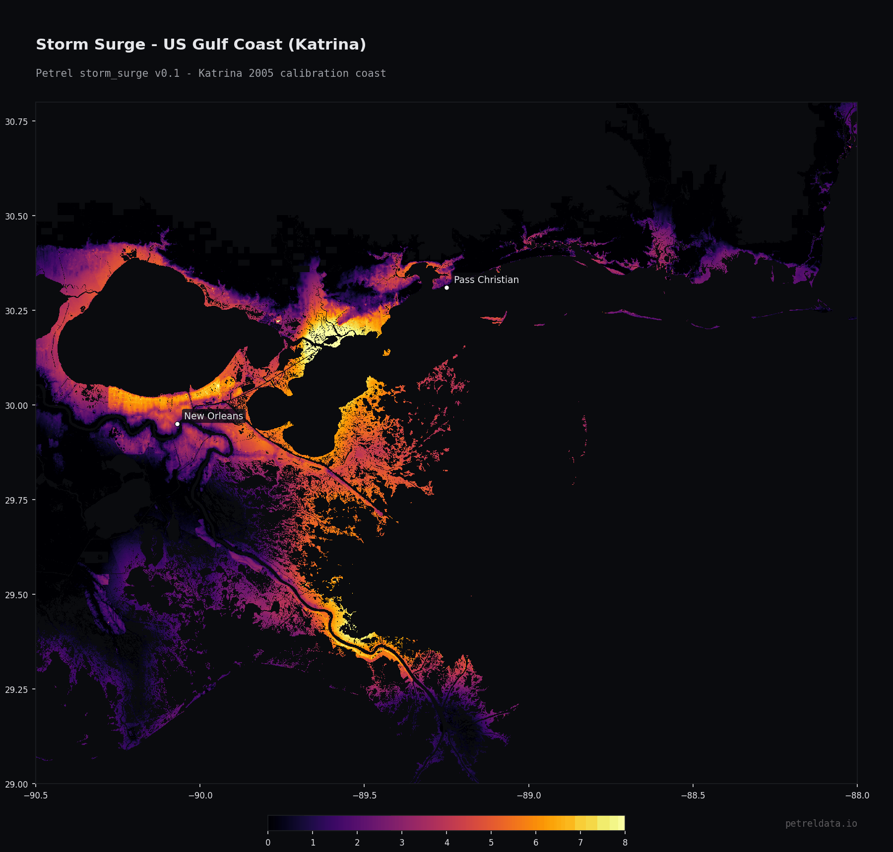
Storm Surge
Coastal storm-surge screening from a hydrodynamic solve, so wind direction, fetch, basin geometry and tide-surge interaction are inside the numbers rather than approximated. Still-water only — no wave setup or runup — on a frozen 1980-2017 climatology with no sea-level rise, and flood defences are not modelled, so below-datum land reads as undefended. Screening for portfolio triage, not engineering design.
Inputs: COAST-RP storm-tide return levels (Dullaart 2021), DeltaDTM v1.1 bare-earth elevation (Pronk 2024, from Copernicus WorldDEM-30), STORM synthetic cyclone catalog, ERA5, IBTrACS
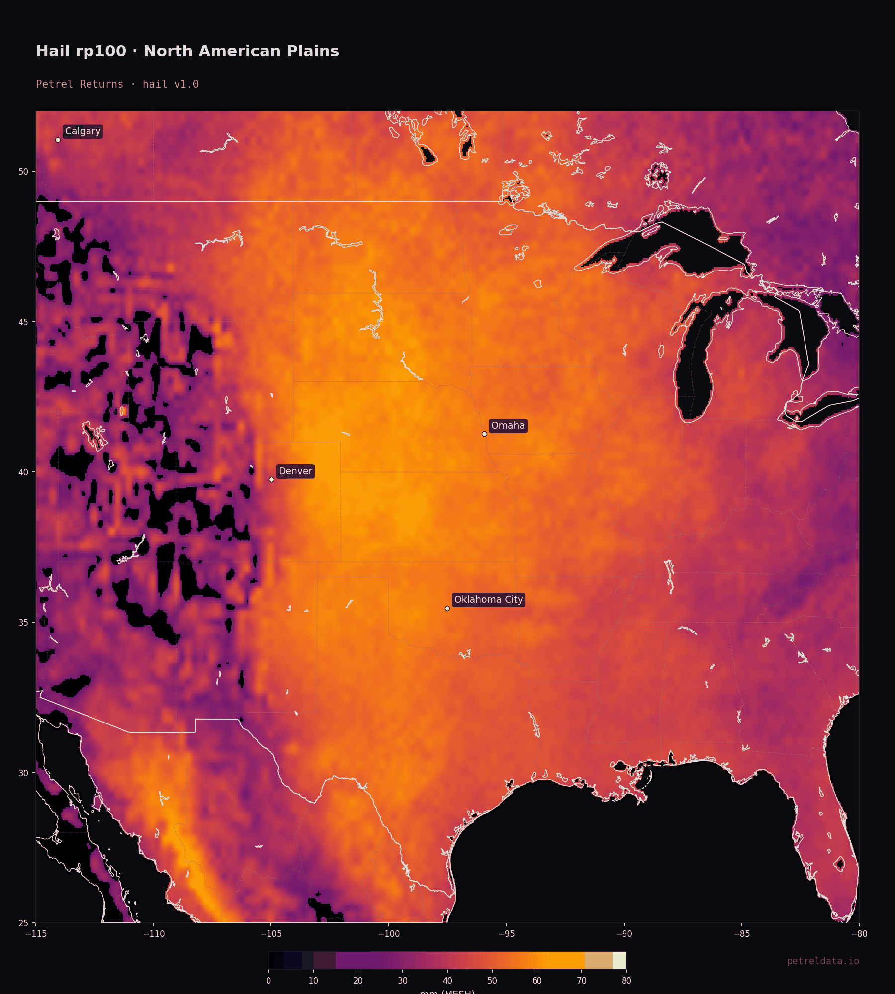
Hail
Global hail screening on a 0.05° (~5 km) grid carrying ~28 km of information, with a measured transfer error of ×/÷1.65 on level and ×/÷1.93 on severity at every pixel. Sizes are MESH — the ground-radar estimate of the largest hailstone aloft, not a measured stone on the ground (above ~45 mm the typical reported ground stone is smaller). Tested against radar only in the US and Australia; the coverage flag reads 0.5 where the function extrapolates (deep tropics, high plateaus), and cells filled from observed convection are untested against radar. The 50-year probability saturates near 1 across the great hail regions (US Plains, Argentina, South Asia, central Africa) — use the Returns line to rank them. No detail below 0.25° is claimed; nodata beyond ±68° latitude, where the satellite anchor does not observe.
Inputs: NASA GHRC PMHAILCLIM (Bang & Cecil 2019), NOAA MRMS MESH 2020–2026, Bureau of Meteorology radar volumes 2010–2025, ERA5, lightning + ERA5 convective environment for sparse satellite cells
Free layersPETREL LAYERS
Global context rasters that feed the hazard models — free to browse and download with attribution. Not risk scores; the raw ingredients.
On the roadmap
Nine hazards to round out the 25-peril catalog. Designed and queued items have a config and methodology doc in source; untouched items are scoped but not started.
Score any address against 16 live perils
Drop a pin anywhere on Earth, get the calibrated 0–1 score for every live peril, and email yourself the report. No signup.